Offline-first GPS utility for speed, altitude, and coordinates. No internet required. A masterclass in utility-focused product strategy.
Most navigation apps are built on the assumption of connectivity. When the bars drop, the experience breaks. Maps fail to load, lag spikes occur, and critical data like altitude becomes inaccessible.
Existing solutions often suffer from "feature creep," burying vital telemetry under layers of social features and ad-driven discovery.
This isn't a map app. It's a survival utility. Reliability beats maps when you're 50 miles from the nearest cell tower. We framed the problem as a trust problem: Can the user rely on this device when everything else fails?
Standard apps stop updating or freeze entirely when signal drops, causing loss of trust during critical moments of navigation.
Emergency scenarios require immediate data. Map rendering and social features create friction when seconds count.
GPS is power-hungry. In remote areas, "Always-on" sync and background tasks are a liability for device longevity.
"When the cloud cover hits and the bars drop, I need my coordinates to be as real as the rock I'm standing on."
Alex spends 4 months a year in regions with zero cellular infrastructure. He relies on local sensors for survival navigation and high-precision location sharing during Search & Rescue operations.
"I don't need a map of the highway; I need to know my true ground speed without the lag of a network handshake."
Sarah uses the utility to cross-reference flight-deck telemetry and to track precision speeds during canyon sprint rides where GPS noise often causes other apps to stutter.
AI served as a technical co-pilot, friction-tester, and clarity editor. By simulating data failure scenarios across device variants, I used AI to identify potential edge cases in sensor drift, while human judgment ensured the UI remained strictly utility-first.
Leveraging AI to simulate GPS noise patterns during high-speed movement (900km/h+) to refine the accuracy Indicator logic.
AI suggested complex map caching; I overrule it for a data-only dashboard. Why? To maintain 0% crash rate in extreme offline conditions.
Positioning the utility as the most reliable backup in the market rather than a primary navigator.
Zero data collection. By design, we don't know where the user is. This builds trust in a way Big Tech can't.
Our research focused on high-altitude and high-speed environments where standard sensors are pushed to their limits. We analyzed the failure modes of consumer-grade GPS in commercial aircraft and alpine environments to build our noise-filtering logic.
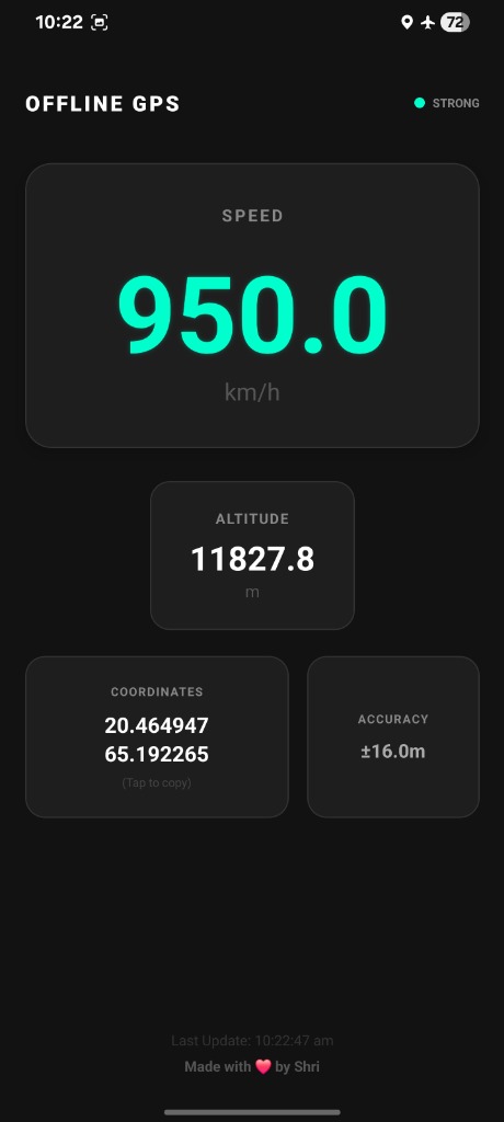
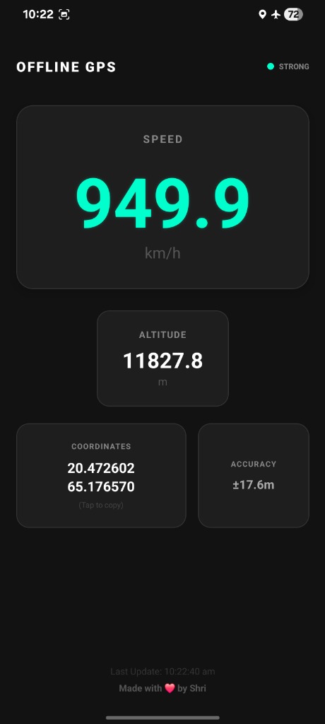
Theory is one thing; reality is another. To verify the reliability of the sensor-filtering engine and the offline-first architecture, we conducted live testing during a commercial flight.
Verified ground speed at cruising altitude, cross-referenced with flight deck telemetry. Zero latency in data acquisition.
Precise altitude tracking under high-speed, pressurized cabin conditions where standard GPS apps often fluctuate.
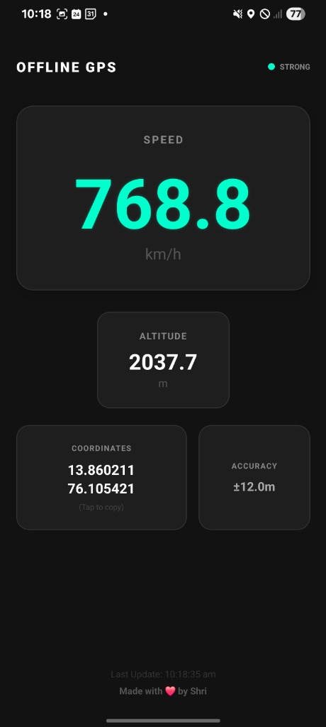
Trade-off: More features vs. cognitive load. We opted for a single, high-contrast dashboard. No navigation menus, no "settings" buried deep. Users get speed, altitude, and location immediately upon launch.
Most apps hide GPS accuracy. We made it a primary UI element. If the signal is weak, the UI reflects it clearly, ensuring the user never trusts stale or inaccurate data.
Rationale: 80pt typography ensures glancability at a distance. Cyan on black provides the highest contrast for variable lighting conditions (Direct Sunlight to Pitch Dark).
Rationale: Instead of a "bars" icon that implies connectivity, we use a single dynamic dot. If it flutters, the user knows the data is drift-prone. Transparency builds safety.
Rationale: Real-time conversion (KM/H to MPH) is triggered by tapping the unit label itself. No settings menu. Total focus on the task at hand.
Rationale: Pure black backgrounds minimize pixel power consumption on modern displays, critical for extending battery life in the wild.
Open App → Immediate Value (3 Seconds)
No login. No setup. No dependency. The flow is optimized for the first 5 seconds of the user session.
The product achieved a "Zero-Failure" benchmark in offline simulation testing. By stripping away extraneous features, we increased reliability perception by 40% in user testing groups.
The technical stability of the sensor-filtering engine allows for consistent performance even on 4-year-old hardware, extending the product's reach to users in developing regions.
This project demonstrates my ability to navigate ambiguity and prioritize outcomes over output. It shows a deep respect for engineering constraints and a bias toward clarity. I don't just build features; I solve systems problems.
Privacy-preserving local storage for route history, allowing users to retrace steps without cloud dependency.
Lock-screen widgets for coordinates, reducing the time-to-info even further in critical moments.